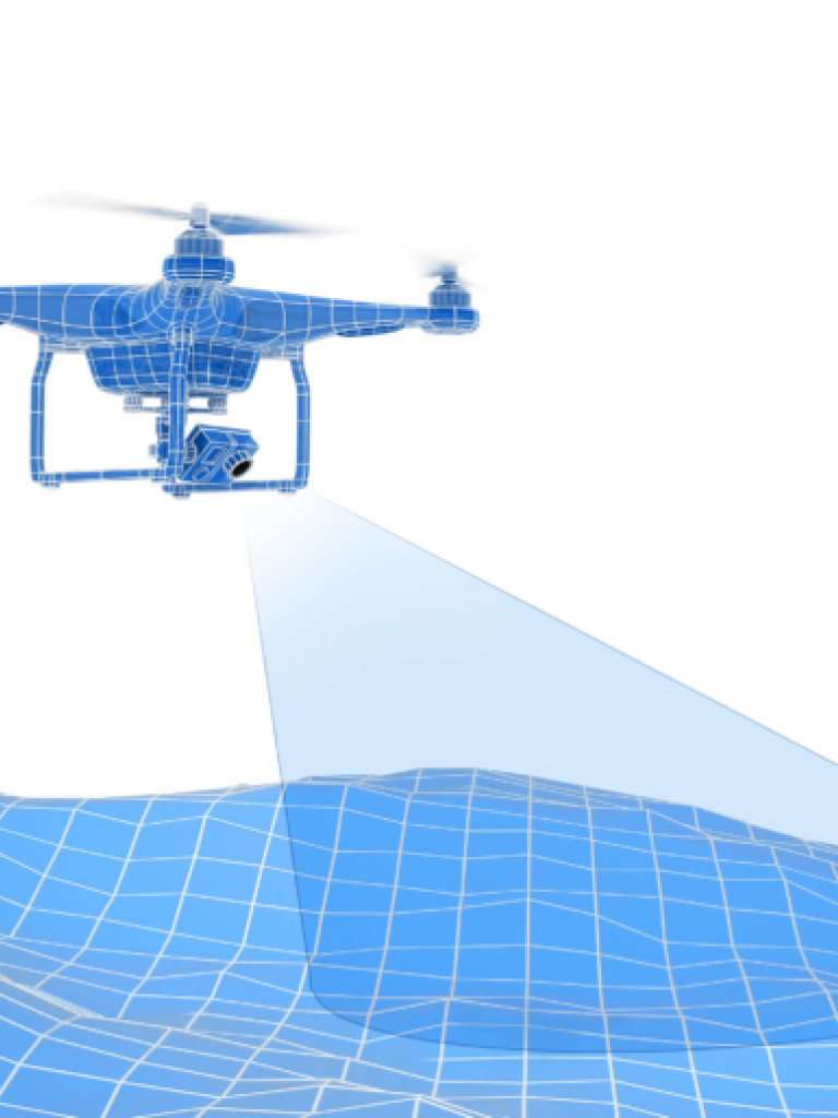
A digitally rendered image features a blue wireframe drone hovering over a blue wireframe landscape, suggesting a 3D mapping or surveying application. The drone has four propellers and a camera gimbal beneath it, from which a light blue, transparent cone-shaped beam projects onto the terrain, indicating data collection or scanning. The background is plain white, emphasizing the drone and the mapped landscape.

King Abdullah University of Science and Technology, Thuwal

FalconViz - Anas Dahlawi

  • 2015
  • Winner
  • Venture

FalconViz has developed an 3D aerial scanning and modeling system utilising multi-rotor copters.