Content Library
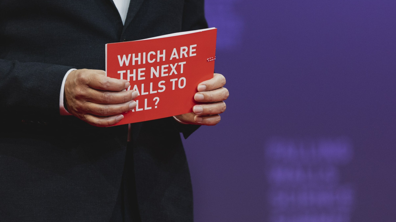
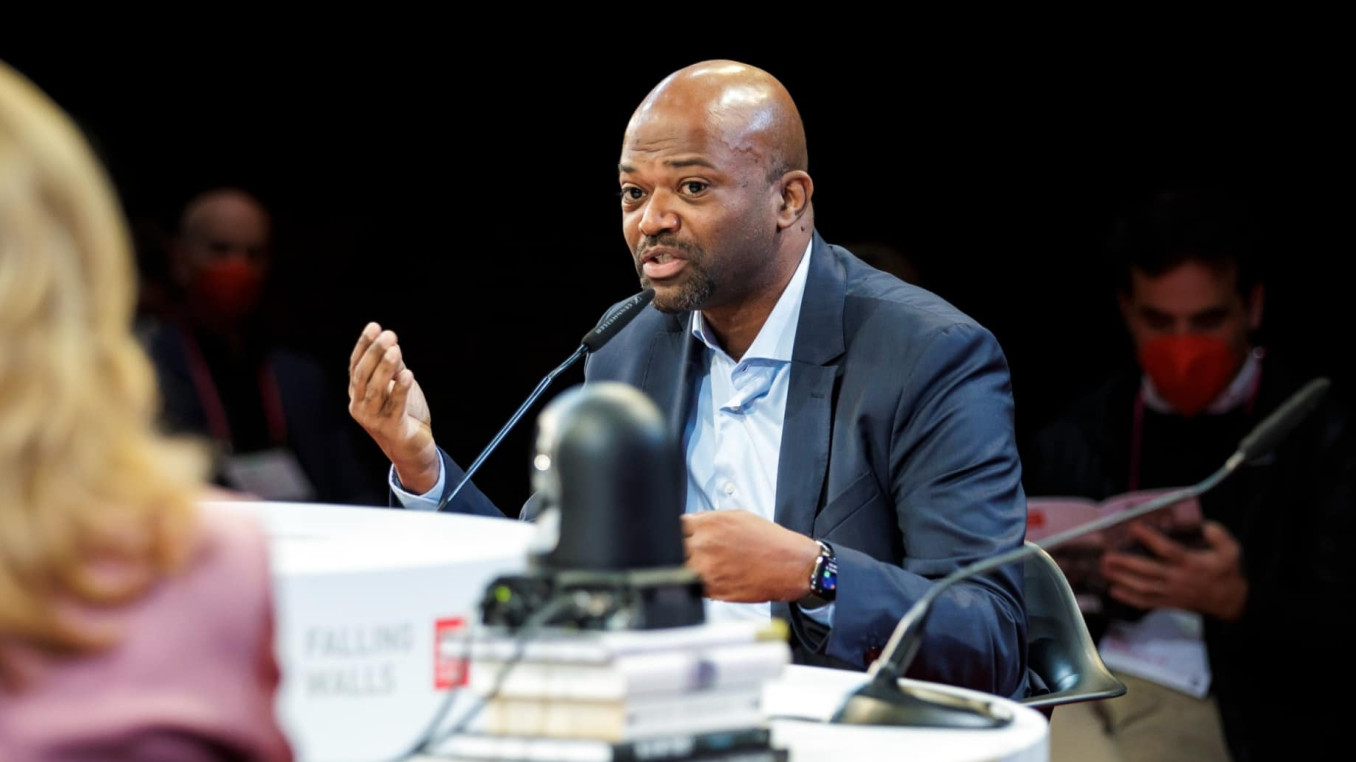
Step into our content library, where we have gathered a diverse array of videos and articles contributed by esteemed friends and colleagues worldwide. Explore the latest talks from the Falling Walls Science Summit 2023 or dive into our newest Winner Interviews for up-to-date insights across various scientific disciplines. Check out our YouTube channel to get access to all videos.


ACCESS ALL VIDEOS
Find all Videos on our YouTube Channel
You're curious about a specific topic or particular presentation? Go to YouTube to find all videos of the Falling Walls Foundation online. From insightful round table discussions addressing climate and the future, to captivating presentations by our breakthrough winners exploring realms from AI to quantum magnets, uncover an expansive world of scientific exploration.
BECOME A PARTNER


